Disclaimer: This page may contain affiliate links. Please review our full Terms and Conditions for more information and our Privacy Policy. Note that any pricing, operating hours, or other such information provided below may have changed since initial publication.
Compiled by the Road Trip Alberta team
Last updated on January 11, 2025
A bull moose stands tall and proud, knee-deep in a misty pond, his giant antlers tangled with moss. His glassy eyes watch you – like a king watching his citizen – and you sense he’s in no hurry about anything. Serendipitous moments like these draw hikers here for some of the best hikes in Jasper National Park, Banff’s less busy northern brother.
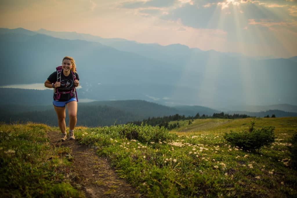
The moment you set foot out here, life’s pace seems to slow. From the laid-back vibes of Jasper’s townsite to the glacier-fed lakes and meandering alpine trails, this 11,000-square-kilometre park gives you a chance to experience nature with fewer crowds.
Best Hikes in Jasper National Park
Jasper Townsite Hikes and Walks
Some of the most beautiful hikes in Jasper are just minutes from the townsite, making it easy for all experience levels to embrace Jasper’s rugged wilderness. Keep in mind the walks in town skew toward the short and easy side of the scale and should be able to be completed in 1 – 3 hours. (The great news is you’ll have time to fit in a hike between brunch and happy hour at Jasper Brewing Company – temporarily closed!)
There are four main hikes within the Jasper townsite, and all are considered easy.
Jasper Discovery Trail
This loop around the town is split into three sections, and the total distance is 8.3km. Be sure to follow the bear symbol on signs, and there will be markers and maps to guide your way! It can be started nearly anywhere.
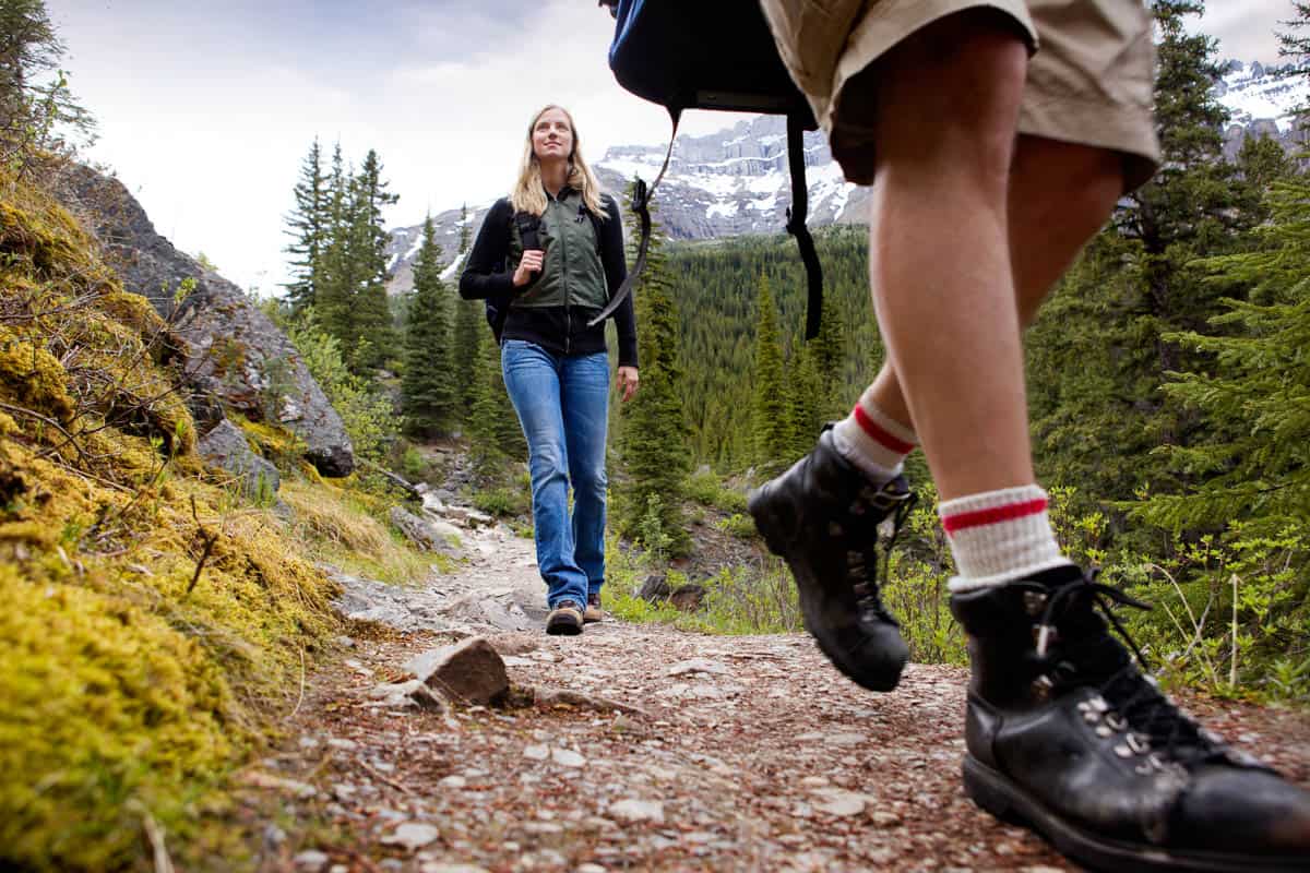
Wapiti Trail
This easy hike is a 4.7 km one-way trail with no elevation. Depending on your speed and how many photos you take, it will take 1-2 hours to complete.
Bighorn Alley
This easy trail accessed via the northeast end of the Discovery Trail gives access to lakes Edith and Annette by going over the Moberly Bridge. It’s 4.3km one way and has very little elevation change (33m).
Red Squirrel
An easy 1km (one-way) trail gives beautiful views of the Athabasca River. There is no elevation change, and it takes 30 minutes to 1 hour to walk.
You can find more Jasper townsite trail information along with downloadable maps here.
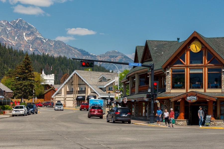
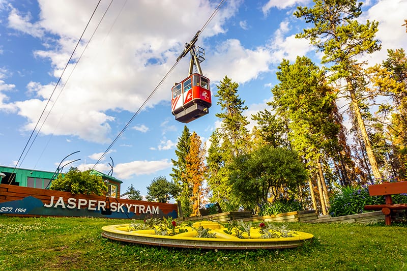
Jasper Skytram – Temporarily Closed
For those looking to begin their Jasper hikes above the clouds, the Jasper SkyTram lets you conserve your energy for exploring the alpine meadows and viewpoint on top of Whistlers Peak. This is an absolute must for those looking for 360º mountain top views!
For the more adventurous, get off the boardwalk and onto the trails leading to the top of Whistlers Mountain. Be sure to be prepared for changing weather conditions. A complete trail map for the top of the mountain can be found here.
Book Jasper SkyTram Tickets here
Jasper Day Hikes
From half-day to multi-day hikes – and everything in between – there are tons of trails of varying difficulties for you to discover once you leave Jasper townsite. From glacier-fed lakes bluer than Ryan Gosling’s eyes to winding paths through untouched alpine meadows to breathtaking mountaintop views, there’s a hike for everyone in Jasper! The hardest part is choosing which trail to take. 🙂
Half-day hikes in Jasper
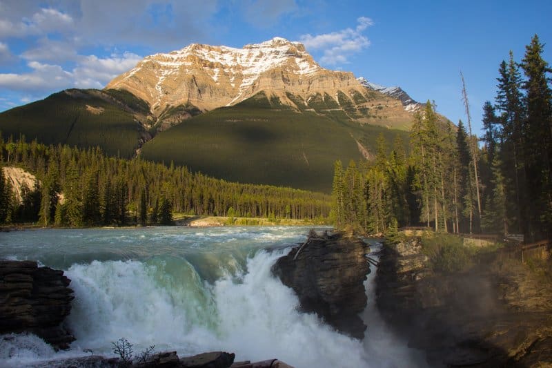
Athabasca Falls (Easy)
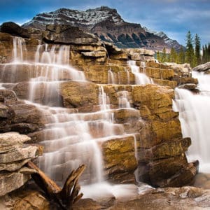
Just a 30-minute drive south from the townsite along the Icefields Parkway, you’ll find Athabasca Falls. It’s considered the most powerful waterfall in the Canadian Rockies. A quick walk along the accessible pathways leads you to several viewpoints of the falls and the canyon, begging you to take photos. From here, there is a network of hiking trails to explore. Stay on the marked paths and be very careful of that ice cold-spray of glacier water!
Athabasca Falls Information :
- Length: 1 km
- Difficulty: Easy
- Time: 1 hour
- Elevation Gain: 25 m
- Trailhead location: Here
- Type: Out and back
- Season: Year-round
- Bring: Water, snacks, sturdy shoes, layers, a waterproof jacket
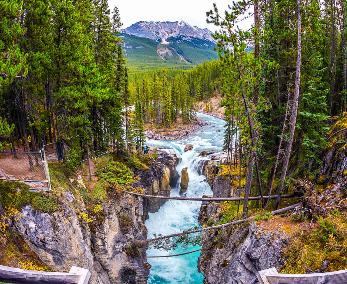
Sunwapta Falls (Easy)
Probably the second most iconic waterfall in the Canadian Rockies is Sunwapta Falls. This easy 3.2 km hike is a must-do in Jasper National Park. Upon arrival at the trailhead, the Upper Sunwapta Falls are right next to the road and require little effort. The Lower Sunwapta Falls are approximately 2 km from the trailhead. The short trail winds through the forest and provides plenty of photo ops. There is a chain link fence to prevent people from climbing over and putting themselves in danger.
Sunwapta Falls Trail information:
- Length: 3.2 km
- Difficulty: Easy
- Time: 1 – 1.5 hours
- Elevation Gain: 143 m
- Trailhead Information: Here
- Type: Out and Back
- Season: Best from May through October
- Bring: Water, snacks, sturdy shoes, layers, a waterproof jacket
Pyramid Lake Overlook Trail (Easy)
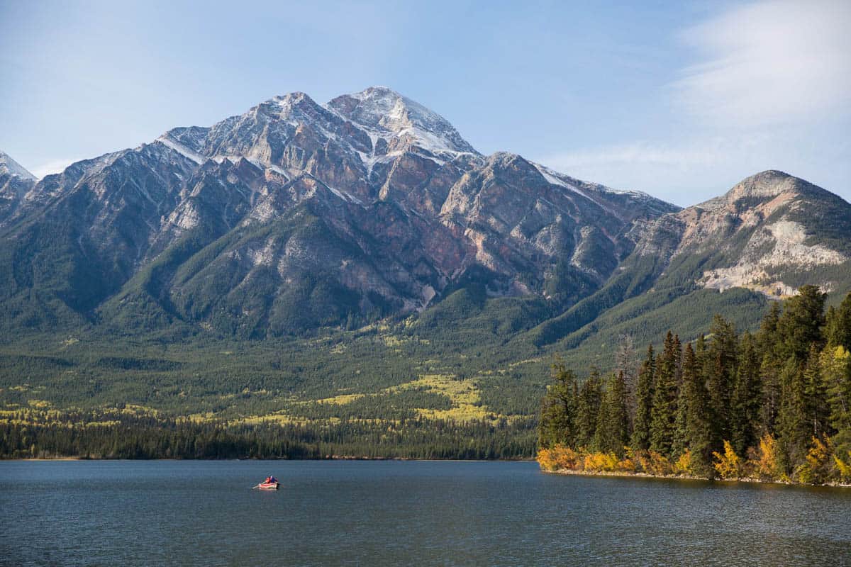
The Pyramid Lake Overlook Trail is a 9 km looping trail that is considered easy and takes hikers approximately 3 hours to complete. The hiking trail goes up to a lookout, then descends through the forest and explores a network of trails lower down. Hikers are rewarded with views of Pyramid Lake and the surrounding mountains. Be sure to stop at Pyramid Island after for an epic photograph.
Pyramid Lake Overlook Trail information:
- Length: 9.0 km
- Difficulty: Easy
- Time: 3 – 4 hours
- Elevation Gain: 309 m
- Trailhead Information: Here
- Type: Loop
- Season: Best from March through October
- Bring: Water, snacks, sturdy shoes, layers, a waterproof jacket, and crampons in the winter.
Old Fort Point Trail (Easy)
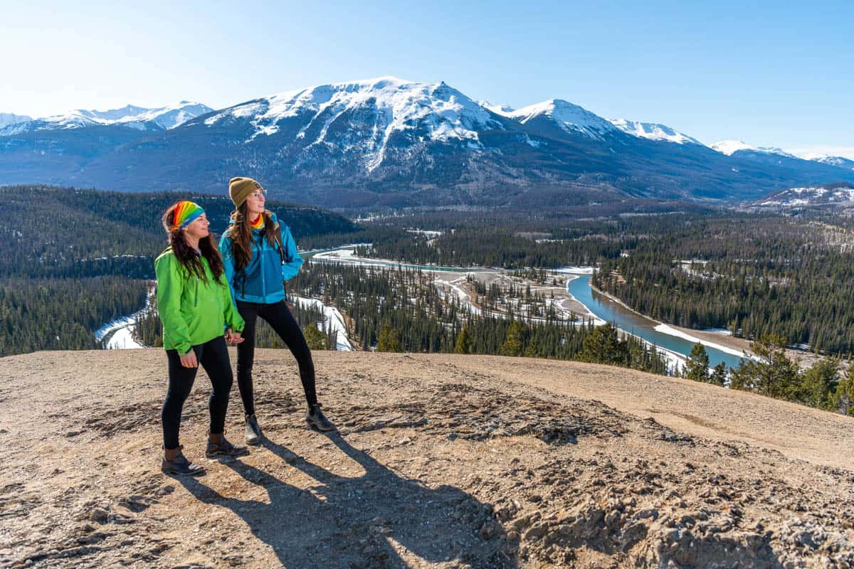
Old Fort Point Trail is a quick and easy hike with rewarding views of Jasper National Park. It’s recommended to take the looping trail clockwise. At the summit, hikers will have a 360-degree panoramic view of the townsite and surrounding mountains. Don’t forget to find the iconic red chairs on this hike! Bears are common in this area, so be sure to have bear spray readily available.
Old Fort Point Trail information:
- Length: 3.7 km
- Difficulty: Easy
- Time: 1.5 – 2 hours
- Elevation Gain: 173 m
- Trailhead Information: Here
- Type: Loop
- Season: Best from April until September
- Bring: Water, snacks, sturdy shoes, layers, a waterproof jacket, and crampons in the winter
Maligne Canyon Trail (Easy) – Temporarily Closed
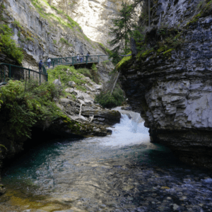
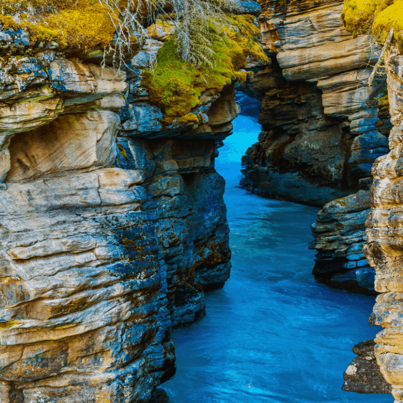
The Maligne Canyon trail brings hikers through a lush forest and follows a deep, narrow centuries-old fissure cut into the local limestone. The winding hiking trail features waterfalls, gorgeous views, and five suspension bridges spanning the gorge. Maligne Canyon is a great, less crowded alternative for those who love Johnston Canyon in Banff.
Maligne Canyon information:
- Length: 3.7 km
- Difficulty: Easy
- Time: 1 – 2 hours
- Elevation Gain: 118 m
- Trailhead location: Here
- Type: Loop
- Season: Best from April until September
- Bring: Water, snacks, sturdy shoes, layers, a waterproof jacket
Valley of the Five Lakes (Easy) – Temporarily Closed
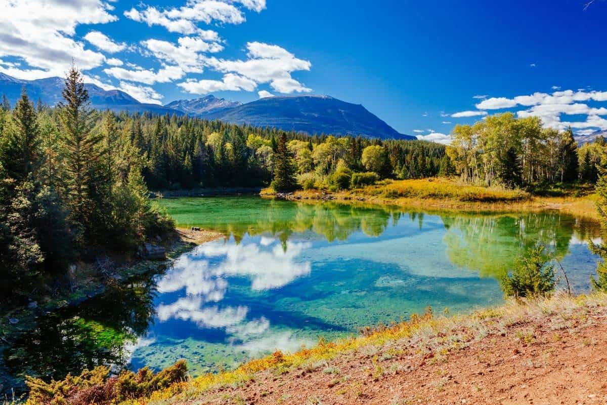
The five lakes of this hike offer an array of colours rarely seen outside Group of 7 paintings. From milky jade to icy blue, each lake is stunning in its own right, but lake #3 and #4 are often considered the most awe-inspiring. While the hike only takes 1.5 to 2 hours, hikers should pack a lunch as the sheer amount of photo ops might keep you busy all day! Also, keep your eyes out for the iconic red chairs between the 3rd and 4th lakes.
Valley of the Five Lakes information:
- Length: 4.5 km
- Difficulty: Easy
- Time: 1.5 – 2 hours
- Elevation Gain: 66 m
- Trailhead location: here
- Type: Loop
- Season: Best from March until October
- Bring: Water, snacks, sturdy shoes, layers, a waterproof jacket
Full-day hikes in Jasper
Edith Cavell Meadows (Moderate)
Edith Cavell Meadows trail is one of the most popular hiking trails in Jasper National Park, and for good reason. Hikers will be rewarded with stunning views of the Angel Glacier, meadows full of flowers and a view of Cavell Pond. It’s recommended to go early, bring hiking poles, and take the loop in a clockwise direction for an easier descent. Note that the road up to the trailhead closes in early October for the winter months.
Edith Cavell Meadows Hike information:
- Length: 8.2 km
- Difficulty: Moderate
- Time: 3.5 – 5 hours
- Elevation Gain: 572 m
- Trail Information: here
- Type: Loop
- Season: Best from July through October
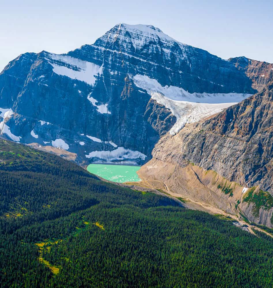
Bald Hills (Moderate)
The Bald Hills hike allows you to work up an appetite as you conquer not one but three peaks, along with the most scenic lunch spots you’ll ever experience! Depending on your route, the hiking trail varies from a long, slowly ascending hike with little challenge to a steeper, shorter hike that can include simple scrambles. But once you’re at the top and enjoying the gorgeous view as you eat your lunch, the effort it took to get there will melt away.
Bald Hills information:
- Length: 13.2 km
- Difficulty: Moderate
- Time: 4 – 6 hours
- Elevation Gain: 500 m
- Trailhead location: Here
- Type: Loop
- Season: Best from May until October
- Bring: Water, sunscreen, sturdy footwear, dress in layers as mountain weather is unpredictable, lunch, snacks, waterproof jacket.
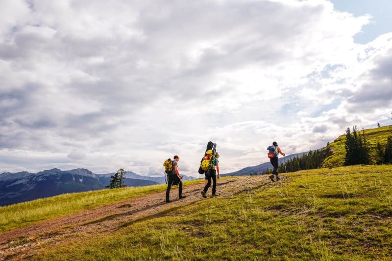
Wilcox Pass Trail (Moderate-Difficult)
Wilcox Pass Trail is another banger of a hiking trail in Jasper National Park. For some odd reason, most hikers end at the red chairs or the viewpoint, and many think this is where the best of the hiking trail begins. The tourists thin out, and the trail continues to Tangle Creek and the falls. If you have the time, this hike shouldn’t be missed. Note that the access road to the trailhead closes in the winter months.
Wilcox Pass Trail information:
- Length: 11.4 km
- Difficulty: Moderate – Difficult
- Time: 4 – 6 hours
- Elevation Gain: 414 m
- Trailhead Information: Here
- Type: Point to point
- Season: Best from May until October
- Bring: Water, sunscreen, sturdy footwear, dress in layers as mountain weather is unpredictable, lunch, snacks, and a waterproof jacket.
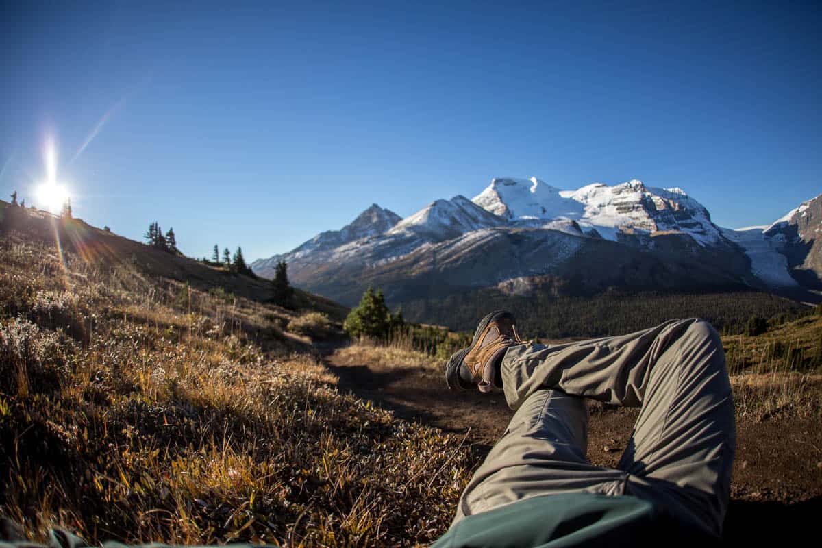
Sulphur Skyline (Moderate)
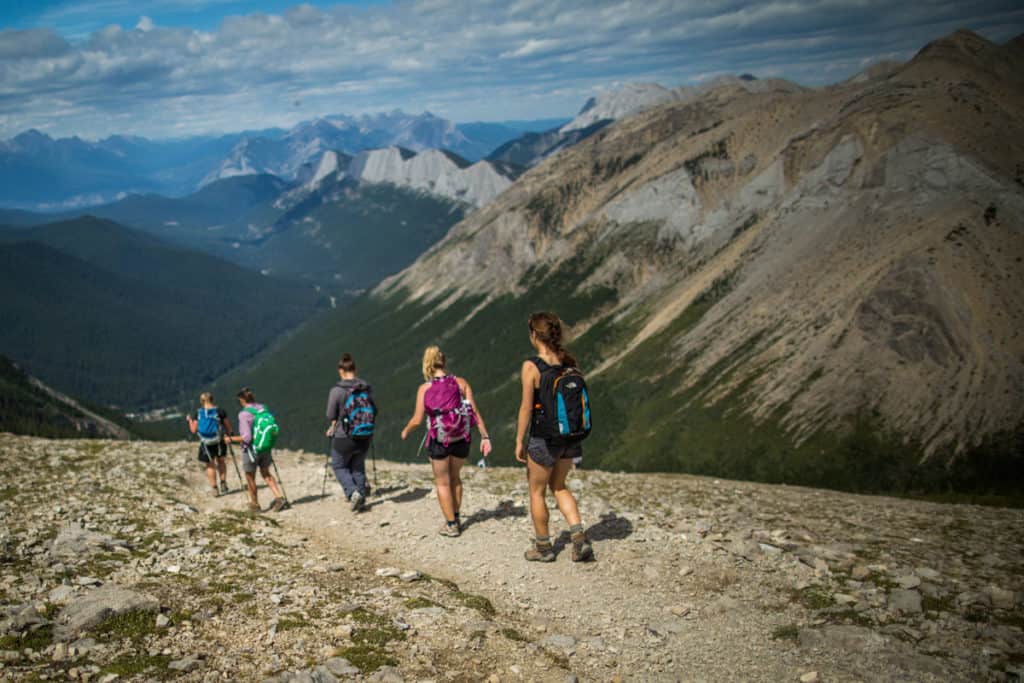
Short and steep (ahem, we mean sweet!) perfectly describes this hike. Come prepared – both physically and mentally – and you won’t be disappointed by the stunning views at the top. From the peaks of the skyline, hardy hikers can see countless mountains spanning the great Canadian Rockies. As a bonus, the trailhead is near Miette Hot Springs – the hottest natural springs in the Canadian Rockies – offering hikers the perfect place to relax after all that hard work, as long as you’re down before it closes.
Sulpher Skyline at a glance:
- Length: 8 km
- Time: 4 – 6 hours
- Elevation Gain: 700 m
- Trailhead location: Behind the Miette Springs building
- Type: Out and back
- Season: Year-round
- Bring: Water, sunscreen, sturdy footwear, dress in layers as mountain weather is unpredictable, lunch, snacks, waterproof jacket.
Whistlers Summit (Moderate-Difficult) – Temporarily Closed
Whistler’s Peak offers a choose-your-own-adventure. You can choose to ‘Ironman-it,’ hiking both up and down the mountain, or ease the leg requirements and switch out one of the trips for a relaxing Skytram ride. The upper station observatory is only 1.4 km from the Skytram and sits at 2263 m of elevation, offering a view of the highest peak in the Canadian Rockies (Mt. Robson) on a clear day whether you’re walking all the way or choosing the more scenic route out.
Book Jasper SkyTram Tickets Here
Whistler’s Peak information:
- Length: up to 15.4 km depending on the route taken
- Time: 4 – 6 hours
- Difficulty: Moderate / Difficult
- Elevation Gain: 500 m
- Trailhead location: West side of the Skytram parking lot
- Type: Out and back
- Season: Nov. 1 to the following February
- Bring: Plenty of water, snacks, and proper footwear
Multi-day hikes in Jasper
Skyline Trail, Jasper (Hard) – Temporarily Closed
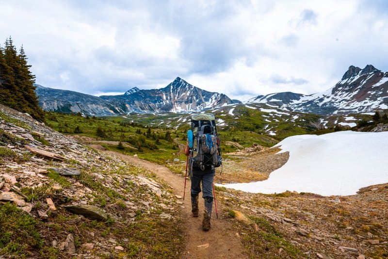
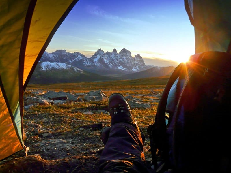
The epic, 40+ km Skyline Trail is one of the most popular backpacking trails in Jasper (and one of the best hikes in Alberta), all for a good reason: most of the hike is spent at or above the treeline. So hike among clouds and follow along three lone mountain passes while you enjoy panoramic views of the surrounding landscape. And since there are plenty of campsites along the hiking trail, you’ll have no shortage of spots to rest and replenish your energy.
Be sure to book your campsite ahead of time, or call 1-877-RESERVE (1-877-737-3783) to reserve a spot.
Skyline Trail information:
- Length: 44 – 47 km
- Difficulty: Hard
- Time: 2 – 4 days
- Elevation Gain: 1380 m
- Trailhead location: The most popular starting point is the end of Maligne Lake Road, 48 km from Jasper townsite. Other trailheads are Signal Mountain, Wabasso Lake, and the Watchtower.
- Type: One-way – Malign Lake Road parking lot to Signal Mountain (call in advance to reserve a shuttle ride back to Malign Lake Road parking lot).
- Season: Early July to early October.
- Bring: Layers (as weather can change at a moment’s notice), a waterproof jacket, plenty of food and water, camping gear, sunscreen, toilet paper, bug spray, and sturdy hiking boots.
Tonquin Valley (Hard) – Temporarily Closed
Starting from either the Portal or Astoria Trailhead, the Tonquin Valley hike offers amazing scenery and a great chance to see some wildlife – including bears and endangered Woodland Elk. While hikers can park at one trailhead and start from the other for the complete experience, it requires some ingenuity or budgeting for a $100 taxi ride from one trailhead to the other. An out-and-back option is available for those who don’t want to pay.
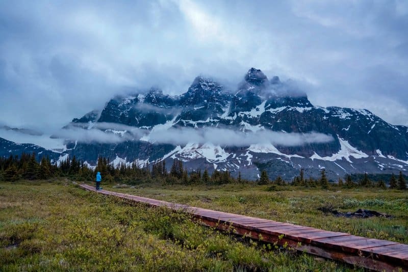
Whether you choose point-to-point or out and back, the highlight of the trip is Amethyst Lake, with its glorious view of the Ramparts – a jagged stretch of rugged mountains that are absolutely breathtaking.
Be sure to book a campsite early or at The Tonquin Inn.
Tonquin Valley information:
- Length: 44 km
- Difficulty: Hard
- Time: 2 – 7 days
- Elevation Gain: 500 – 700 m elevation gain (depending on trailhead)
- Trailhead location: Portal Trailhead or Astoria Trailhead
- Type: Point to point or out and back
- Season: Portal trailhead is open year-round, while Astoria is closed in the winter until Feb. 15, after which it is track set for cross-country skiing.
- Bring: Layers (as weather can change at a moment’s notice), a waterproof jacket, plenty of food and water, camping gear, sunscreen, toilet paper, bug spray, and sturdy hiking boots.
Berg Lake Trail in Mount Robson Provincial Park (Hard)
We’re cheating just a bit on this one – but this hike is worth it. The trailhead for Berg Lake (and the lake itself) is in Robson Provincial Park, Jasper’s little British Columbian brother. But since this multi-day trail is only an hour outside of Jasper, and Berg Lake itself is only a couple of kilometres from the Alberta/Jasper border, we figured the beautiful scenery, the glacier-fed lake (complete with icebergs), the majestic, heart-pounding Emperor Falls, and a view of the tallest mountain in the Canadian Rockies – earned the hike a place on the list!
There are tons of day hikes within the Berg Lake Trail hike too, and you can spend as much time on this hike as your food supply and energy level will allow.
Berg Lake Trail information:
- Length: 42 km
- Difficulty: Hard
- Time: 1 – 4 days
- Elevation Gain: 1,083 m
- Trailhead location: Here, a short drive to the Mount Robson Visitor Centre.
- Type: Out and back
- Season: Year-round, with no services or fees before May 15 or after Thanksgiving Day.
- Bring: Layers (as weather can change at a moment’s notice), a waterproof jacket, plenty of food and water, camping gear, sunscreen, toilet paper, bug spray, and sturdy hiking boots.
Click here for more information and a complete list of Berg Lake Trail hikes.
Other Information
If you want to continue your outdoor adventure, there are plenty of campgrounds in Jasper! Whether you are pitching a tent or want to hook up to a fully serviced site, there are a few different options available.
For a complete list of where to stay, check out our guide to the best Jasper camping spots. But if you’d rather have a rough over your head after exerting so much energy, check out our top picks for Jasper accommodations.
Be sure to start your day off right! We’ve got a whole article on where to get the best breakfast in Jasper.
Need some help planning your itinerary? Check out our guide for all the things to do while visiting Jasper.
And if you plan to enjoy Alberta’s capital city as well, check out our complete guide of fun things to do in Edmonton.
ALSO, don’t forget that while you’re on the road, you can download our FREE Road Trip Alberta bingo cards, to make it just that much more fun!

Pete is a co-founder of Road Trip Alberta. Growing up in Edmonton he has an extensive knowledge of Alberta and everything the province has to offer. He loves to eat good food, hike (especially in the winter), play tennis and curl. Apart from running Road Trip Alberta, he is a director with HMI, a digital media agency, half of the Hecktic Travels duo, and a co-creator of the popular card game Trip Chaser.
