Disclaimer: This page may contain affiliate links. Please review our full Terms and Conditions for more information and our Privacy Policy. Note that any pricing, operating hours, or other such information provided below may have changed since initial publication.
Compiled by the Road Trip Alberta team
Last Updated on January 9, 2025
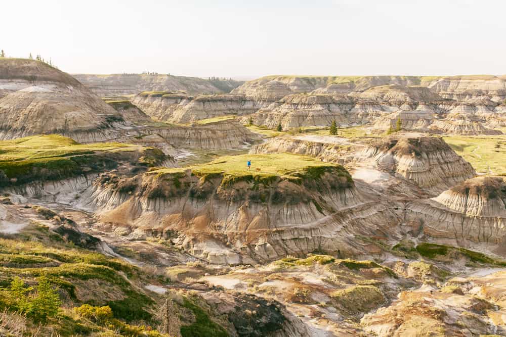
Drive 90 minutes northeast of Calgary and the prairies suddenly give way to narrow, winding gullies and colourful, rugged hills layered like a trifle. It’s a strangely vibrant yet barren land where sun-scorched pillars of rock grow wild, watching curiously, eerily, as travellers come to visit.
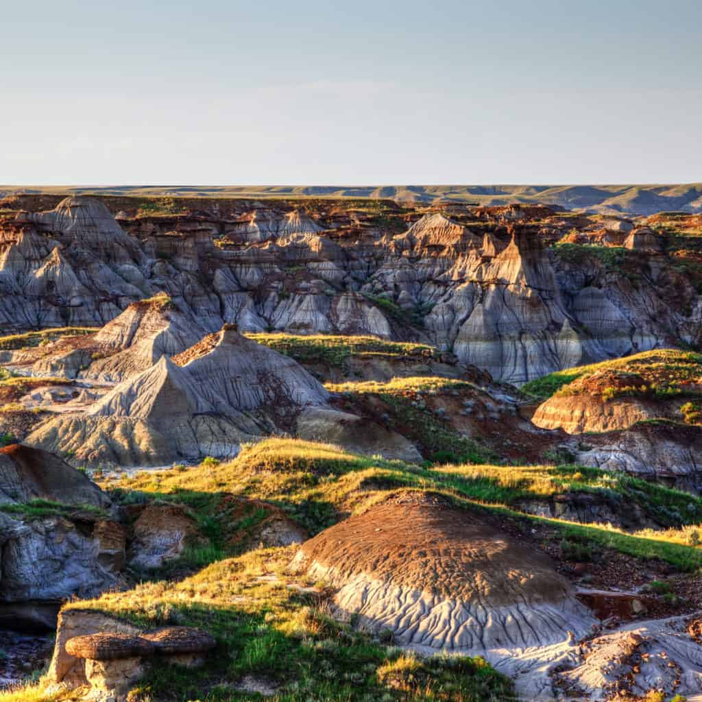
Part land before time, part alien planet, Drumheller is a place where you can let your mind wander with your feet. Let this post on Drumheller hikes be your guide!
The History of Drumheller
Drumheller sits in the middle of the Canadian Badlands – where dinosaurs and horse thieves roamed free in their time. The evocative name dates back to the expeditions of early Euro-French explorers, who probably found the snaking valleys and extreme heat trying as they dubbed the area, “Mauvaises terres à traverser”, meaning “bad lands to cross.”
Sculpted by time
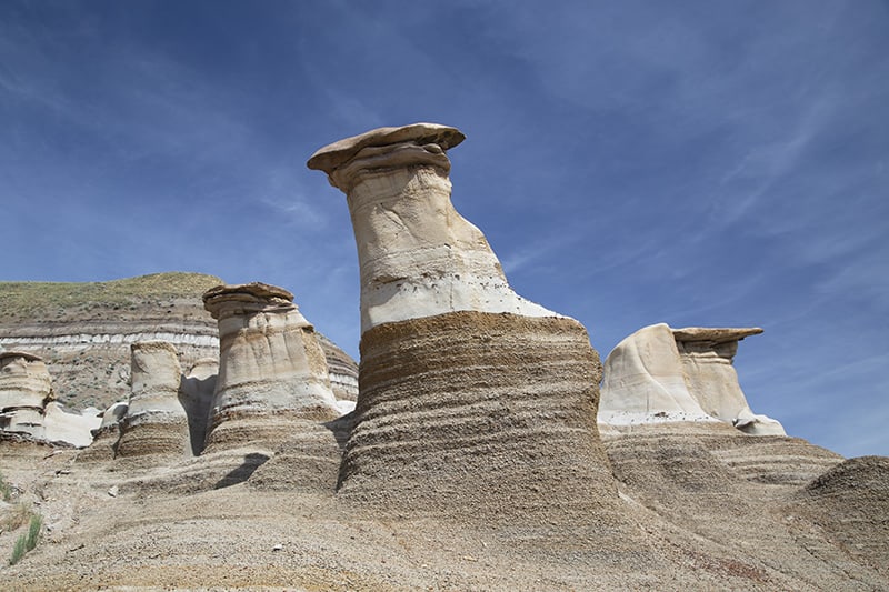
13,000 years ago, long before those first explorers and even before the first Indigenous Peoples, Alberta’s Badlands were formed by streams of glacial meltwater eroding the local sandstone. The tireless elements – both wind and water – found it easy to sculpt the softer stone while the denser slabs pushed back, creating striking, multi-hued cliffs and towering columns of sandstone rocks called ‘hoodoos.’
What the Heck are ‘Hoodoos’?
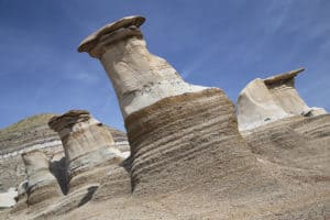
An internationally recognized icon of the Badlands, hoodoos are fantastical stone pedestals that have been weathered and eroded over many years into strange shapes. They’re often topped by a hard, flared-out cap that protects and preserves their structure. Hoodoos range from just a couple of centimetres in height to towering goliaths reaching several metres high.
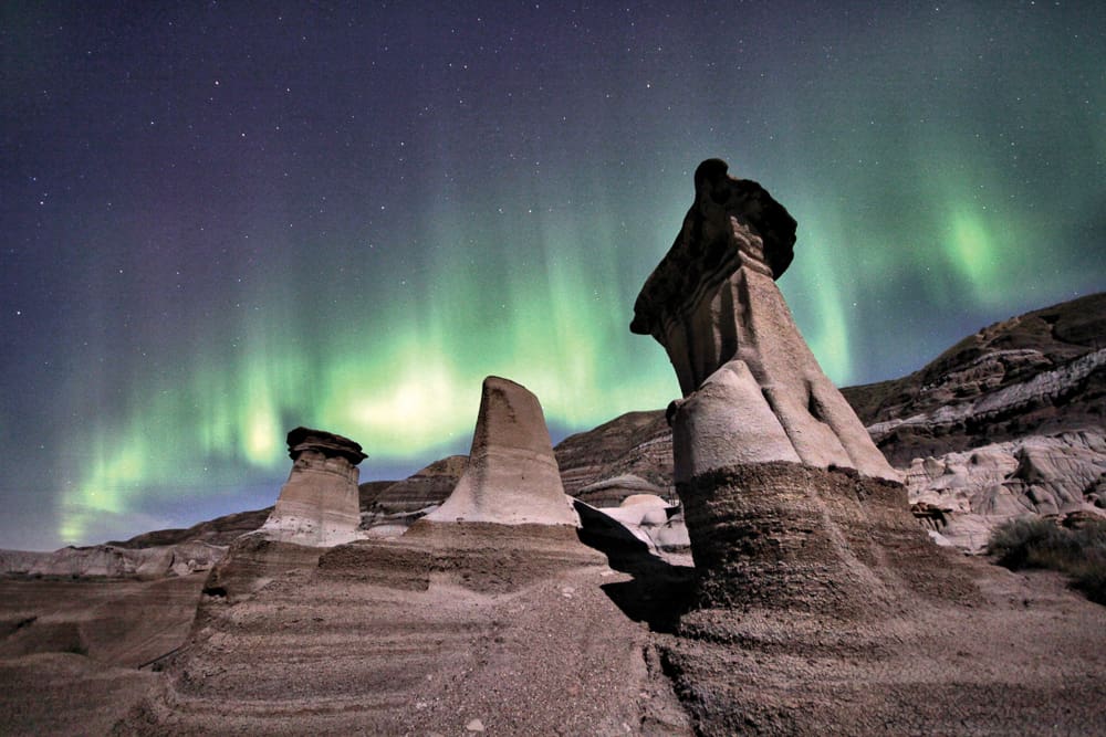
Despite the very natural process that forms them, hoodoos look as though they were created by something out of this world. In fact, the name is thought to derive from the West African religion, ‘Voodoo’, in which mystical properties are attributed to the naturally occurring world around us.
The Top Scenic Drumheller Hikes
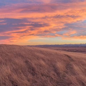
From the labyrinth of twisting hoodoos standing tall against a blue summer sky to the rugged channels bathed in the orange glow of sunset, Drumheller’s surreal scenery must be experienced to be believed.
The good news is a variety of Drumheller hikes will keep you busy for the day – or the whole weekend. So grab your runners and get ready for some gorgeous and awe-inspiring trails!
Hoodoos Trail
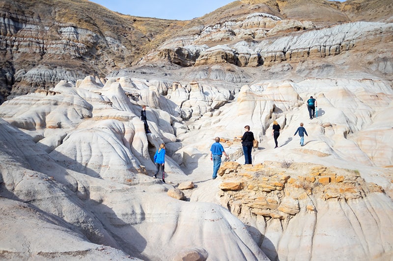
Just 10 minutes southeast of Drumheller, you’ll find yourself on one of the most popular Drumheller hikes. You’ll wander through a silent forest of the infamous, other-worldly hoodoos that have made the Canadian Badlands so iconic. In this short, ½ km loop, you’ll enjoy gorgeous views overlooking the valley, sliced-open hillsides revealing their multi-coloured bands of rock, and if the season’s right, the hot pink cacti-blooms speckling the ground next to your shoes.
What to bring:
- Good shoes, with solid soles in case of inclement weather, as the surrounding rocks can get slick with rainfall
- Plenty of water as summer temperatures can soar to 40+ °C
- Sunscreen, hat and other clothing to protect you from the sun
- Camera
- Snacks
- $2 for the parking fee if you drive (cash or credit accepted)
Quick facts:
- Easy, 0.5 km walking loop
- 9.75 metres elevation gain
- Kid-friendly
- Scenic valley views and desert flora like cacti and wild grasses
- No shade
- How to get there
On the way back to Drumheller, be sure to make a pitstop at the Star Mine Suspension Bridge located in Rosedale. It’s an impressive old bridge that was used by miners in the 1930’s, ‘40s and ’50s. Although it was closed for repairs in much of 2021, we hope to see its return to use in 2022!
Horseshoe Canyon
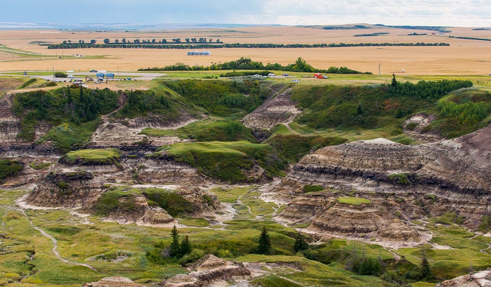
Fifteen minutes southwest of Drumheller, Horseshoe Canyon is probably your first stop if you’re coming in from Calgary. Perched on the edge of a glacier-carved valley, Horseshoe Canyon is aptly named, because the canyon itself has been formed into the shape of a ‘U’. Once you park and stretch your legs, you have two options: 1. Check out the jaw-dropping vista overlooking the Badlands just metres from the parking lot, or 2. Hike the 2.9 km loop down into the canyon and meander along the bottom, enjoying the serenity of this lightly trafficked loop. And you can always do both! But whatever you do, don’t miss this trek, as it is one of our fave Alberta hikes.
What to bring:
- Good shoes, with solid soles in case of inclement weather (the mud on the canyon floor can get thick and slick after a rainfall)
- Plenty of water as summer temperatures can soar to 40+ °C
- Sunscreen, hat and other clothing to protect you from the sun and other elements
- Camera
- Snacks
Quick facts:
- Easy, 2.9 km walking loop
- 80 metres elevation gain
- Kid-friendly
- Gorgeous Lookouts
- Best to hike in April through to September
- No shade
- How to get there
Horsethief Canyon
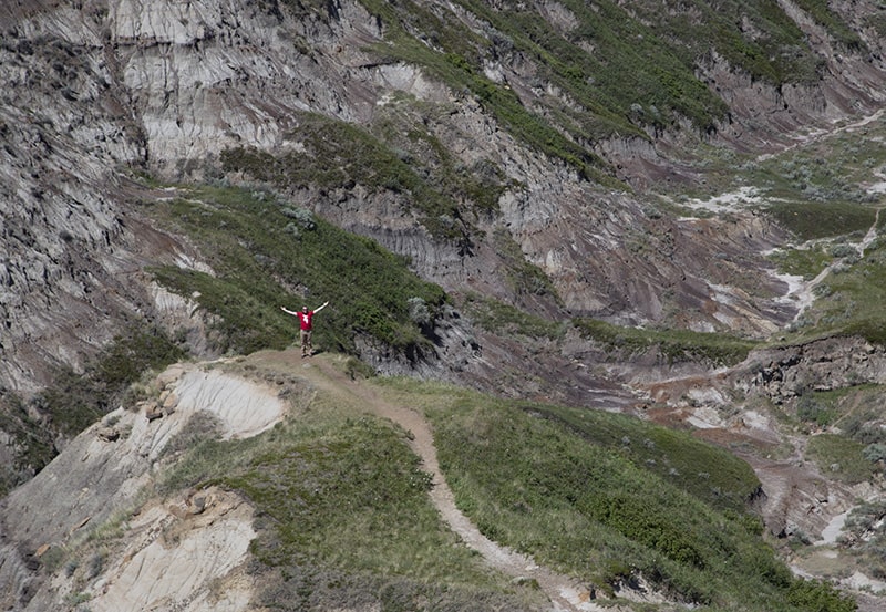
20 minutes northwest of Drumheller, Horsethief Canyon was once a hiding place for roaming horse thieves, and the canyon still holds plenty of secrets for those willing to go beyond the lookout and brave the trip to the bottom. In this day it’s rated as one of the most popular Drumheller hikes.
Walking through Horsethief Canyon, it’s easy enough to forget you’re in the 21st century while you amble through terrain that resembles Hollywood’s Wild West. As you explore the nooks and crannies of the multi-hued rocks, you might just catch a glimpse of ‘Doc’ Middleton – King of the Horse Thieves – on the horizon.
What to bring:
- Good shoes, as the trail can get muddy and/or disappear in some places.
- Plenty of water as summer temperatures can soar to 40+ °C
- Sunscreen, hat and other clothing to protect you from the sun and other elements
- Camera
- Snacks
Quick facts:
- Easy, 0.8 km out-and-back trail
- 22 metres elevation gain
- Kid-friendly
- Popular for trail runners
- Best to hike in May through October
- No shade
- How to get there
Midland Provincial Park
Just 10 minutes northwest of Drumheller, Midland Provincial Park spans 280 hectares and is a haven for local flora and fauna. There are a variety of trails crisscrossing the park for visitors to enjoy, and there’s even a trail conveniently connecting the town of Drumheller to the Royal Tyrrell Museum – a great bike ride if you’re up for it!
What to bring:
- Good walking shoes
- Bicycle if desired
- Plenty of water as summer temperatures can soar to 40+ °C
- Sunscreen, hat and other clothing to protect you from the sun and other elements
- Camera
- Snacks
Quick facts:
- 280 hectare Provincial Park
- Family-friendly area
- Many walking/running/biking trails
- How to get there
Royal Tyrrell Museum Loop / Badlands Interpretive Trail
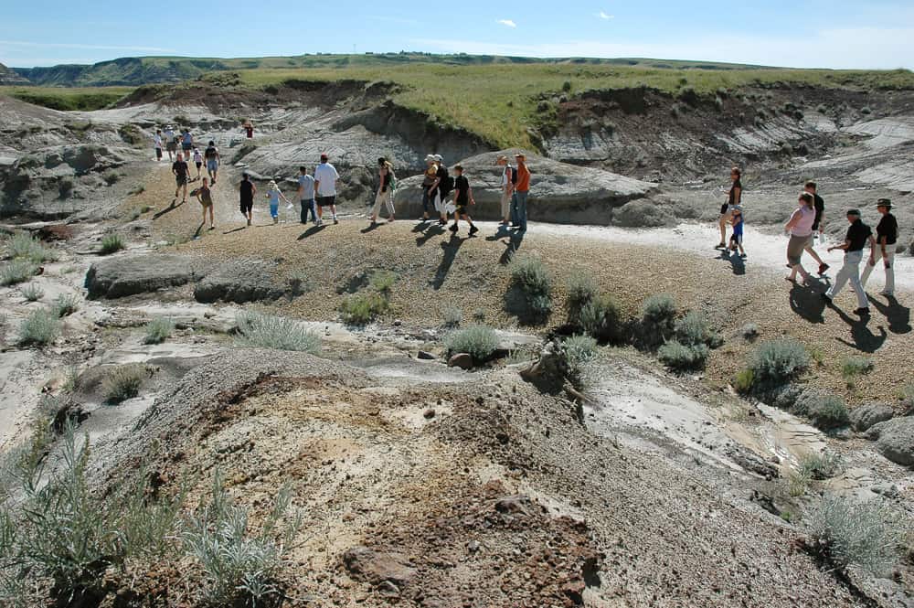
Inside Midland Provincial Park sits the historic Royal Tyrrell Museum of Palaeontology, which has the largest display of complete dinosaur skeletons in the world. Before or after perusing the museum, you can head to the Badlands Interpretive Trail for a relaxed walk with beautiful scenery, informative signage about the area, and a lightly trafficked, kid-friendly path.
What to bring:
- Walking shoes
- Plenty of water as summer temperatures can soar to 40+ °C
- Sunscreen, hat and other clothing to protect from the sun and other elements
- Camera
- Snacks
Quick facts:
- Easy, 1.9 km out-and-back trail
- 28 metres elevation gain
- Kid-friendly
- Best to walk May through September
- How to get there
Drumheller Pedestrian Loop
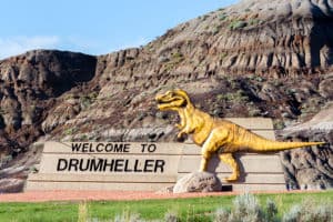
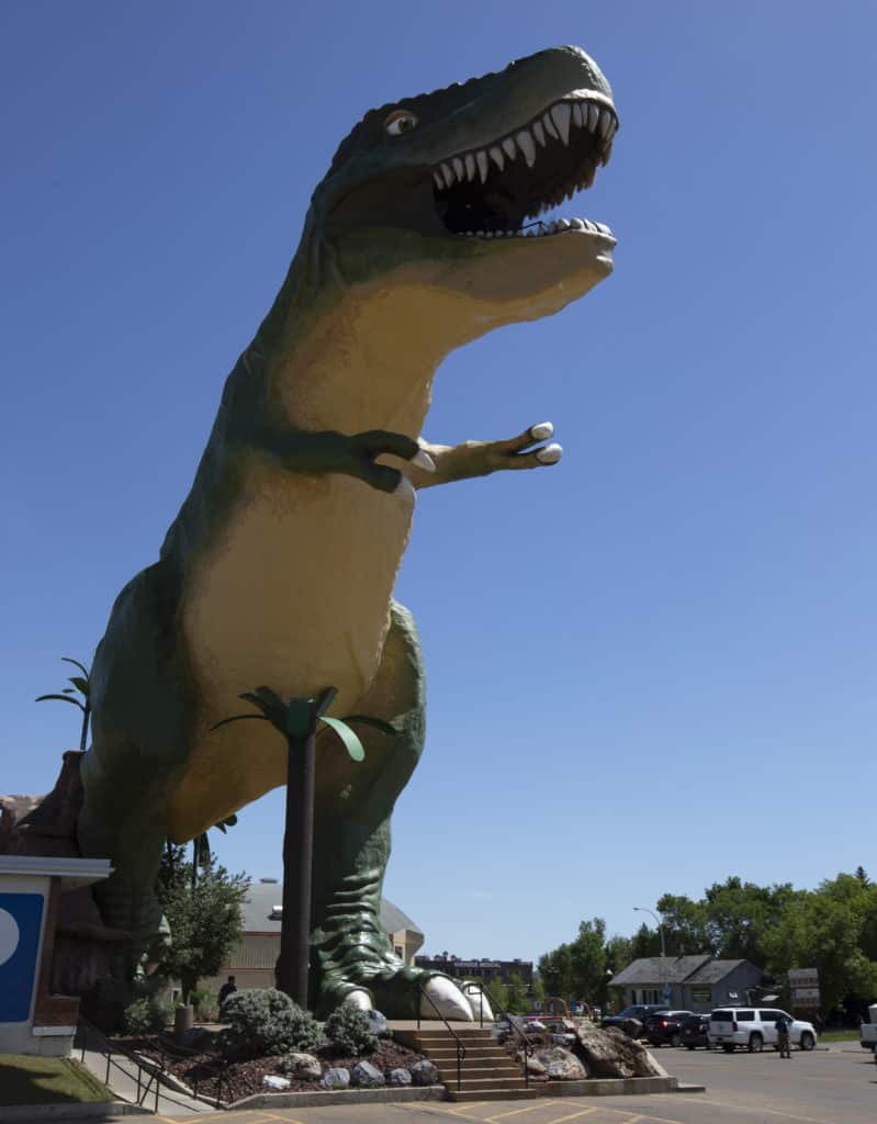
Connecting downtown Drumheller with the Royal Tyrrell Museum, the Dinosaur Trail and Drumheller pathway offer a fun and active way to see the Badlands and the Royal Tyrrell Museum by bike – or foot if you’re feeling super energetic! A good place to start is at the World’s Largest Dinosaur (right next to Drumheller’s Visitor Information Centre), then take the trail through town, into Midland Provincial Park, and finally, to the Museum. There’s a cafeteria at the Tyrrell Museum but be sure to bring some snacks along for the ride!
What to bring:
- Quality runners with good support or biking shoes (if you’ll be riding)
- Plenty of water as summer temperatures can soar to 40+ °C
- Lots of snacks
- Camera
- Sunscreen, hat and other clothing to protect from the sun and other elements
- Bicycle, if desired
Quick facts:
- 14.5 km loop
- Convenient walking/biking path connecting downtown Drumheller to the Royal Tyrrell Museum
- Bike-friendly
- No shade
- How to get there
Michichi Creek Boardwalk
Thirty minutes northeast of Drumheller, and something of a departure from the Badlands, is the Michichi Reservoir. Instead of rugged landscapes, the gentle, meandering loop highlights a section of Red Deer River’s expansive wetlands network. The trail begins at the first parking lot at the Michichi Dam Campground and recreation area, where you’ll walk through the sanctuary-still, lush natural wetlands. It’s a perfect spot for a relaxing scenic walk alone or with the whole family making it another favourite for Drumheller hikes.
What to bring:
- Good walking shoes
- Plenty of water as summer temperatures can soar to 40+ °C
- Snacks
- Camera
- Sunscreen, hat and other clothing to protect from the sun and other elements
Quick facts:
- Easy, 1 km loop
- Informative interpretive signage along the path
- Kid-friendly
- No shade
- How to get there
There’s also lots to do in the area besides hiking! Check out our complete Drumheller travel guide, as well as our article on Drumheller restaurants to try.
If you’re traveling from other areas of the province and are unsure of the route, we have you covered in this guide on how to get to Drumheller.

Dalene Heck is a co-founder of Road Trip Alberta. She was born in Edmonton, grew up in the Peace Country, and has ventured to almost every corner of Alberta and the world (she’s travelled to 60 countries)! She is a serial blogger, the CEO of HMI Marketing, co-creator of the Trip Chaser card game, a leukemia-slayer, and cat whisperer.
